Column · @aerialworkbench
How Data Delivery Shapes the Client Experience After a Drone Flight
From capture to client: why the data workflow matters
When a drone pilot finishes a flight, the job is not over. The raw images, video, or sensor files stored on the memory card are only the beginning. What happens next - how those files are processed, hosted, and shared - determines whether the client sees a professional deliverable or a confusing collection of files. For FAA-certified drone pilots working with commercial clients, the data delivery phase is often the most visible part of the service. Getting it right builds trust; getting it wrong can damage a reputation.
Many pilots focus heavily on the capture itself - pre-flight checks, airspace authorisation, camera settings - and treat data delivery as an afterthought. That is understandable, because flying is the exciting part. But from the client's perspective, the flight is invisible. What they see is the final report, the interactive map, or the orthomosaic that lands in their inbox. If that output is slow to arrive, hard to open, or missing key context, the client will not be impressed, no matter how smooth the flight was.
What a drone data platform does for the delivery chain
A drone data platform is a system that handles the entire workflow after the flight. It ingests raw files, processes them into useful formats, hosts them securely, and presents them through a visual interface that the client can access from any browser. Instead of emailing large attachments or sending a link to a generic file-sharing folder, the pilot can deliver a polished, interactive experience that reflects their professionalism.
The core idea is straightforward: the platform replaces manual steps with automated or semi-automated processing. For example, a batch of aerial images can be stitched into an orthomosaic using photogrammetry algorithms, then overlaid on a map with measurement tools. The client can pan, zoom, and annotate without installing any software. For the pilot, this means spending less time on post-processing and more time on flying the next job.
How data delivery affects the client experience
Clients typically care about three things: speed, clarity, and access. Each of these is directly influenced by the data workflow behind the scenes.
Speed
When a client requests aerial data for a construction site, an inspection, or a survey, they usually need it quickly. A delay of a few days can hold up decisions and cost money. If the pilot must manually process files on their own computer, the turnaround depends on their hardware and availability. A drone data platform can run processing jobs on remote servers, often much faster than a laptop can manage. The pilot uploads the raw files, and the platform handles the heavy lifting. The client receives a notification when the output is ready, sometimes within hours.
Speed also matters for repeat business. A pilot who consistently delivers fast turnaround becomes the go-to resource for time-sensitive projects. Clients learn that they can rely on that pilot, which strengthens the working relationship.
Clarity
Raw drone files do not communicate well to a non-specialist. A folder full of TIFF files and a spreadsheet of GPS coordinates means little to a project manager who just wants to see the progress of earthworks. The platform translates the raw data into a visual format that makes sense to the client. An annotated map, a 3D model, or a side-by-side comparison of two flights tells the story instantly.
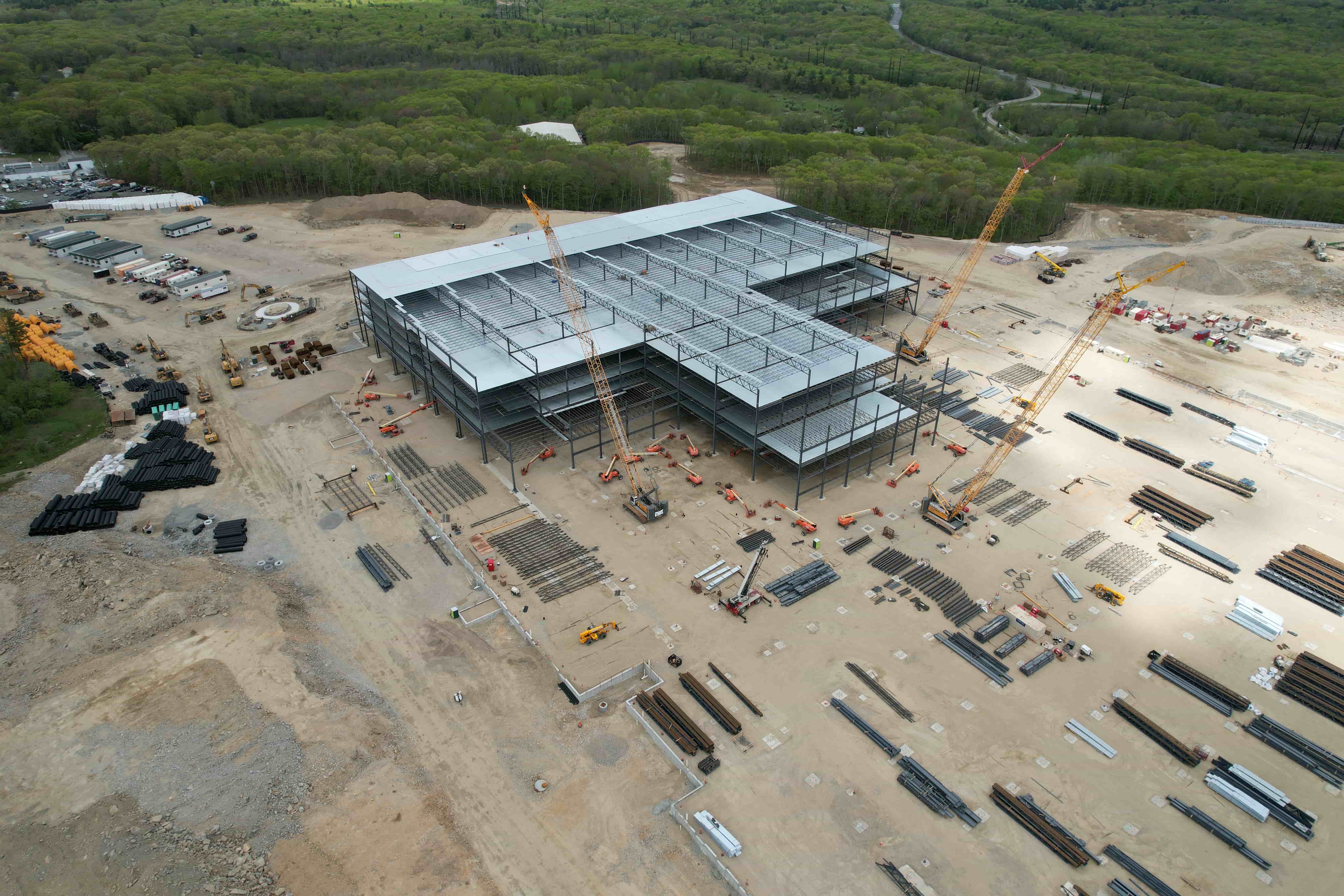
Clear deliverables also reduce the number of follow-up questions. When the client can see the data in context, they do not need to ask what a particular measurement means or where a specific feature is located. The platform can include measurement tools, notes, and even comparison views that let the client see change over time. This self-serve aspect is valuable for busy clients who do not want to schedule a call just to interpret the data.
Access
How the client retrieves the data is almost as important as the data itself. A link that expires in a week, a password that must be reset, or a file that only opens in a specific piece of software - these are friction points. A good platform provides persistent, secure access through a web browser. The client can log in from the office, from home, or from a mobile device on site. They can share the link with colleagues without needing to forward large files. The platform handles permissions, so the pilot controls who sees what.
For pilots who work with multiple clients, the platform also keeps projects organised. Each client gets their own portal or project view, with only their data visible. This avoids the confusion of mixing deliverables from different jobs and ensures that sensitive information stays compartmentalised.
The role of a drone service provider in the workflow
An FAA-certified pilot who operates as a drone service provider must wear many hats: pilot, editor, customer service representative, and sometimes IT support. The data delivery part of the workflow can be the most technically demanding, especially when the client expects polished outputs like orthomosaics, digital elevation models, or thermal overlays. A drone data platform that includes processing capabilities means the pilot does not need to master photogrammetry software or maintain a powerful editing workstation. They can focus on flying safely and capturing good data, leaving the processing to the platform.
That said, the pilot still needs to understand what the platform can and cannot do. Not every platform handles every sensor type or file format. Some are optimised for visual imagery, others for LiDAR or multispectral data. Choosing the right platform is part of the service package that the pilot offers. The pilot should be able to explain to the client what format the deliverables will take and how they will be accessed, setting expectations early in the relationship.
Platforms also differ in how they handle client reporting. Some generate automated PDF reports with site maps and measurements. Others offer customisable dashboards where the client can explore the data interactively. The pilot should match the reporting style to the client's needs. A construction firm may want weekly progress maps with overlays showing excavation volumes. An environmental consultant may want high-resolution orthophotos with annotation tools. The platform's flexibility becomes a competitive advantage when the pilot can tailor the deliverable to the industry.
How account setup and project hosting simplify the process
For the pilot, the first step is setting up an account on the drone data platform. This usually involves creating a profile, adding payment details, and configuring project settings. Some platforms allow the pilot to create sub-accounts for clients, so each client has their own login and view. This is cleaner than sharing a single login across multiple clients.
Once the account is ready, the pilot creates a project for each job. The project becomes the container for all the data related to that flight: raw files, processed outputs, notes, and reports. The pilot uploads the files from the flight, and the platform processes them according to the settings chosen. Some platforms let the pilot queue multiple jobs and process them in parallel, which speeds up turnaround when there are several flights from the same day.
Project hosting means the data lives on the platform's servers, not on the pilot's hard drive. This has several advantages. First, the pilot does not need to worry about backing up large files or losing data if a drive fails. Second, the client can access the data from anywhere, at any time, without the pilot needing to send files. Third, the platform can handle versioning: if the pilot flies the same site again, the new data can be added to the same project, and the platform can show the changes over time.
A drone data platform that offers comprehensive project hosting and client reporting is a natural fit for pilots who want to present a professional face to their clients. Services such as those offered by nationaldroneservices.net provide this kind of integrated workflow, helping pilots move from capture to delivery without stitching together multiple tools. The platform handles the hosting and presentation, so the pilot can concentrate on the flying and the client relationship.
What to look for in a drone data platform
Not every platform is the same, and the right choice depends on the type of work the pilot does. Here are a few considerations:
- File format support - Does the platform accept the raw files from your sensor? Some platforms only work with common image formats, while others handle proprietary formats from survey-grade cameras, thermal sensors, or LiDAR units.
- Processing speed - How fast does the platform process a typical dataset? Look for platforms that offer parallel processing or GPU-accelerated algorithms, especially if you deal with large orthomosaics or 3D models.
- Client interface - Can the client view the data without creating an account? Is the interface intuitive? A platform that requires the client to install software or navigate a complex dashboard may create friction.
- Security and permissions - Does the platform offer role-based access? Can you set expiration dates on links? For sensitive projects, these features matter.
- Integration with other tools - Some platforms integrate with GIS software, CAD programs, or business management systems. If your clients use these tools, integration can save time.
Making the delivery part of the service package
For pilots who fly commercially, the data delivery is not just a technical step - it is part of the value they sell. A pilot who can promise a polished, interactive deliverable within a predictable timeframe can charge a premium over someone who sends a zip file of raw images. The drone data platform becomes the tool that enables that premium service.
It also helps with repeat business. When a client sees how easy it is to access and understand the data, they are more likely to call the same pilot for the next job. The platform creates a consistent experience across projects, which builds familiarity and trust. Over time, the pilot's brand becomes associated with reliable, clear deliverables, not just with flying drones.

The platform also reduces the pilot's overhead. Instead of managing multiple software subscriptions, juggling external hard drives, and answering client questions about how to open files, the pilot has a single system that handles the entire workflow. This frees up time to focus on growing the business, finding new clients, and improving flying skills.
For pilots who work through a service like nationaldroneservices.net, the platform is part of a larger ecosystem that connects certified pilots with paid capture work. The data delivery piece ensures that once the flight is complete, the client receives a professional output that matches the quality of the capture. The platform handles the processing, hosting, and reporting, so the pilot does not have to become a data specialist.
Common pitfalls and how to avoid them
Even with a good platform, the pilot must still manage the workflow carefully. One common mistake is uploading raw files without checking them first. A corrupted file or a missed card can derail the processing. Another is failing to set clear expectations with the client about what the deliverable will look like and when it will arrive. The platform can do the heavy lifting, but the pilot still owns the communication.
Another pitfall is relying on the platform's default settings without testing them. Some platforms apply compression or downsampling by default, which may not suit clients who need full-resolution data. The pilot should check the output quality on a test project before sending it to a client. A quick review can catch issues that would otherwise require re-processing.
Finally, pilots should consider the client's technical comfort level. A web-based map with measurement tools is great for most clients, but some may prefer a simple PDF or a video file. The platform may support both, so the pilot should ask what format the client prefers and configure the project accordingly. Flexibility in reporting is a mark of a professional service.
The bottom line
Data delivery is not a minor detail after the flight. It is the moment when the client evaluates the pilot's work. A drone data platform that automates processing, hosts projects securely, and presents results in a clear, interactive format makes that moment a positive one. For FAA-certified pilots who want to build a sustainable business, investing in the right data workflow is as important as investing in the right drone.